Restren:Cornwall outline map with UK (2009).png

Myns an ragwel ma: 758 × 600 piksel. Klerderyow erel: 303 × 240 piksel | 607 × 480 piksel | 971 × 768 piksel | 1,280 × 1,013 piksel | 1,351 × 1,069 piksel.
Restren wreydhek (1,351 × 1,069 piksel, myns an restren: 80 KB, eghen MIME: image/png)
| Restren dhyworth Wikimedia Commons yw hebma. Yma diskwedhys a-woles derivadow dhyworth y folen deskrifans ena. | Mos dhe folen an restren war Wikimedia Commons |
.png?uselang=kw)
Berrskrif
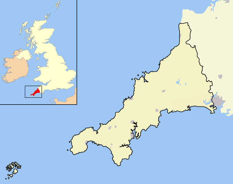
| Deskrifans | A map of the county of Cornwall, England, United Kingdom, showing the post-2009 district boundaries. |
| Dedhyans | |
| Pennfenten | Ober honan |
| Awtour | Jhamez84 |
Leshyans
| I, the copyright holder of this work, release this work into the public domain. This applies worldwide. In some countries this may not be legally possible; if so: I grant anyone the right to use this work for any purpose, without any conditions, unless such conditions are required by law. |
Istori an restren
Klyckyewgh war dhedhyans/eur rag gweles an folen dell o an termyn na.
| Dedhyans/Eur | Skeusennik | Mynsow | Devnydhyer | Kampol | |
|---|---|---|---|---|---|
| a-lemmyn | 14:13, 18 Meurth 2010 | | 1,351 × 1,069 (80 KB) | Mahahahaneapneap | Compressed |
| 20:15, 19 Kevardhu 2008 |  | 1,351 × 1,069 (121 KB) | Jza84 | == Summary == {{Information |Description=A map of the county of Cornwall, England, United Kingdom, showing the post-2009 district boundaries. |Source=self-made |Date=December 2008 |Author= Jhamez84 |Permission=See below |other_versions=N |
Devnydh an restren
Yma an folen a syw owth usya an restren ma:
Devnydh ollvysel an restren
Yma an wikis erel a syw ow tevnydhya an restren ma:
- Devnydh war cy.wikipedia.org
- Devnydh war en.wikipedia.org
- Crewe and Nantwich
- South Shropshire
- Ellesmere Port and Neston
- Shrewsbury and Atcham
- Castle Morpeth
- Vale Royal
- Blyth Valley
- Wansbeck District
- Tynedale
- Mid Bedfordshire District
- South Bedfordshire
- Penwith
- Kerrier
- Carrick, Cornwall
- Restormel
- Caradon
- North Cornwall
- Teesdale (district)
- Wear Valley
- Derwentside
- North Shropshire
- Kennet District
- West Wiltshire
- North Wiltshire
- Borough of Berwick-upon-Tweed
- Alnwick District
- Bridgnorth District
- Sedgefield (borough)
- Easington District
- Macclesfield (borough)
- Congleton (borough)
- Chester (district)
- Salisbury District
- Borough of Oswestry
- City of Durham (district)
- Chester-le-Street (district)
- Cornwall Council
- Northumberland County Council
- Wiltshire Council
- 2009 structural changes to local government in England
- Shropshire Council
- Wikipedia:WikiProject UK geography/2009 local government structural changes task force
- Wikipedia talk:WikiProject UK geography/2009 local government structural changes task force
- User:Coldmachine/Sandbox/Template:2009EnglandNavbox
- Template:Local government districts of England abolished in 2009
- User:Squitipedia
- Devnydh war qu.wikipedia.org
- Devnydh war tr.wikipedia.org
.png)