Restren:Gwynedd UK location map.svg

Size of this PNG preview of this SVG file: 586 × 600 piksel. Klerderyow erel: 234 × 240 piksel | 469 × 480 piksel | 750 × 768 piksel | 1,000 × 1,024 piksel | 2,001 × 2,048 piksel | 1,275 × 1,305 piksel.
Restren wreydhek (Restren SVG, 1,275 × 1,305 piksel yn hanow, myns an restren: 1.12 MB)
| Restren dhyworth Wikimedia Commons yw hebma. Yma diskwedhys a-woles derivadow dhyworth y folen deskrifans ena. | Mos dhe folen an restren war Wikimedia Commons |
| Deskrifans |
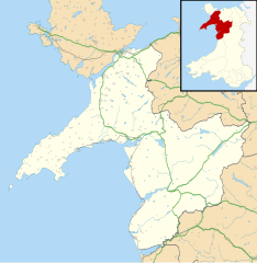
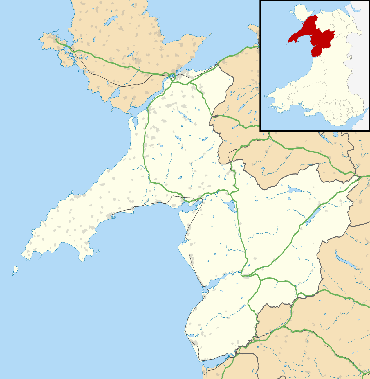
Blank map of Gwynedd, UK with the following information shown:
Equirectangular map projection on WGS 84 datum, with N/S stretched 165% Geographic limits:
|
| Dedhyans | |
| Pennfenten |
|
| Awtour | Nilfanion, created using Ordnance Survey data |
| Kummyas (Dastevnydhya an restren ma) |
Yma an restren ma yn-dann an leshyans Creative Commons Attribution-Share Alike 3.0 Unported. Askrifans: Contains Ordnance Survey data © Crown copyright and database right
|
| Other versions | File:Gwynedd UK map.svg - Blank map |
Istori an restren
Klyckyewgh war dhedhyans/eur rag gweles an folen dell o an termyn na.
| Dedhyans/Eur | Skeusennik | Mynsow | Devnydhyer | Kampol | |
|---|---|---|---|---|---|
| a-lemmyn | 19:33, 26 Gwynngala 2010 | | 1,275 × 1,305 (1.12 MB) | Nilfanion | {{Information |Description=Blank map of Gwynedd, UK with the following information shown: *Administrative borders *Coastline, lakes and rivers *Roads and railways *Urban areas Equirectangular map projection on WGS 84 datum, with N/S stretch |
Devnydh an restren
Yma an folen a syw owth usya an restren ma:
Devnydh ollvysel an restren
Yma an wikis erel a syw ow tevnydhya an restren ma:
- Devnydh war ar.wikipedia.org
- Devnydh war ba.wikipedia.org
- Devnydh war ca.wikipedia.org
- Devnydh war ceb.wikipedia.org
- Devnydh war cy.wikipedia.org
- Devnydh war de.wikipedia.org
- Devnydh war en.wikipedia.org
- Caernarfon
- Gwynedd
- Portmeirion
- Beddgelert
- List of monastic houses in Wales
- Blaenau Ffestiniog
- Aberdaron
- Narrow Gauge Railway Museum
- Porthmadog
- Bangor, Gwynedd
- Bethesda, Gwynedd
- Ffestiniog
- Llan Ffestiniog
- Harlech
- Criccieth
- Pwllheli
- Bardsey Island
- Llanberis
- Barmouth
- Dolgellau
- Tywyn
- Mochras
- Fairbourne
- Abersoch
- Llanbedr
- Aberdyfi
- Nasareth
- Nefyn
- Trawsfynydd
- Bala, Gwynedd
- Tremadog
- Tanygrisiau
- Llanystumdwy
- Y Rhiw
- Llanfaglan
Gweles devnydh ollvysel moy a'n restren ma.